-40%
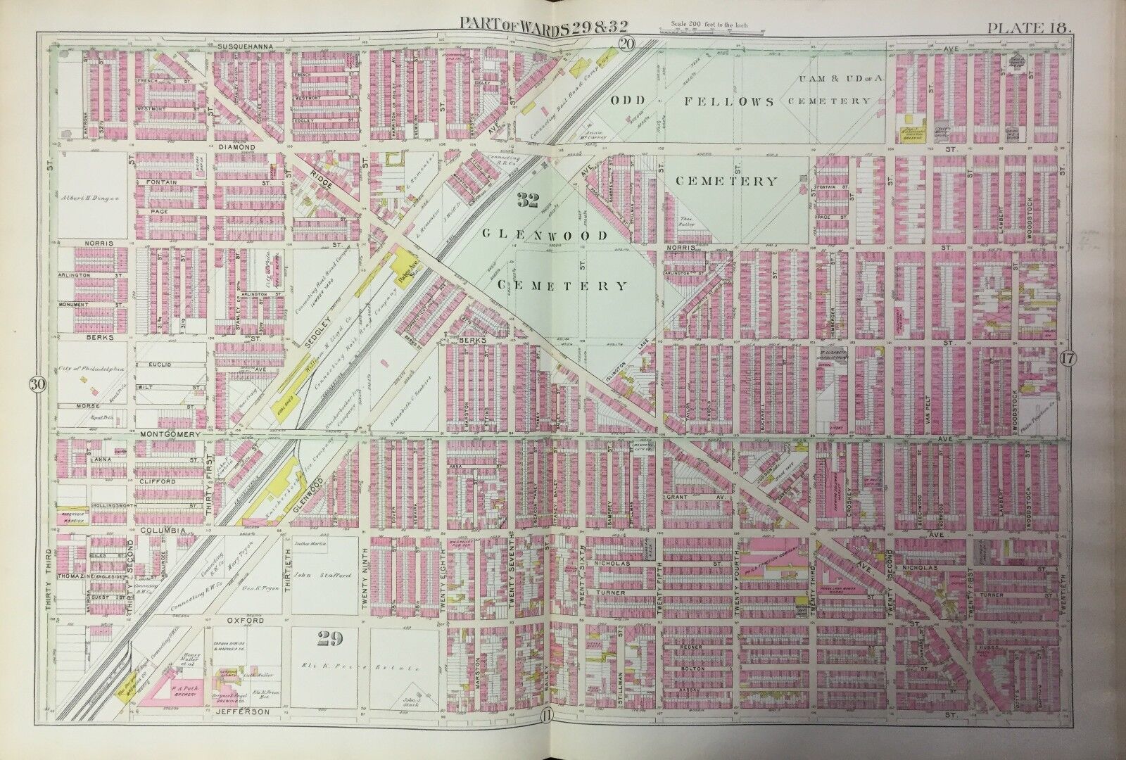
1895 PHILADELPHIA PA COLUMBIA AVENUE GROUNDS RECREATION BASEBALL PARK ATLAS MAP
$ 50.13
- Description
- Size Guide
Description
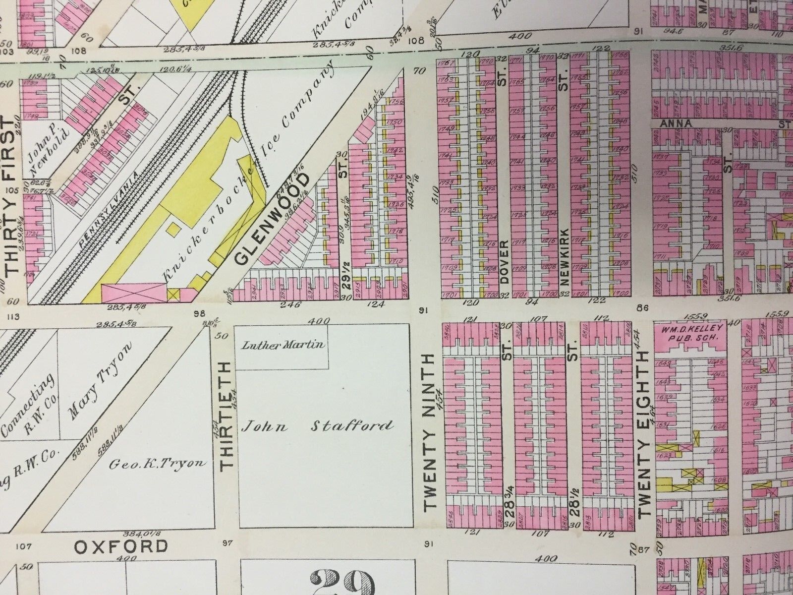
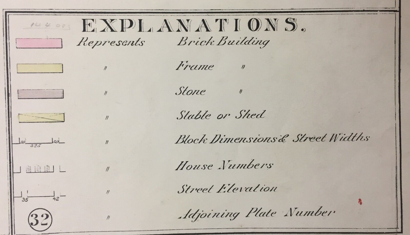
This is an original G.W. Bromley plat atlas map of the Brewerytown section of Philadelphia, Pennsylvania. This lithographic map features the future home of Philadelphia Athletics (see second photo) at 29th and Columbia Avenue called Columbia Avenue Grounds. A few blocks east is the past home of the Athletics (see third photo) which was once Recreation Park. In 1895, the Athletics were playing their home games at Franklin Field, home of the University of Pennsylvania. This map also shows Glenwood Cemetery, Odd Fellows Cemetery, St. Elizabeth Church, as well as many other noteworthy buildings and structures. It is dated 1895.PLAT 18 covers from Twentieth Street to Thirty Third Street and from Jefferson Street to Susquehanna Street.
I am selling my collection of rare maps. If there is an area or street address of
Brooklyn, Manhattan, Queens, Staten Island, Bronx, Long Island, Rochester, Buffalo, Elmira, Newark, Atlantic City, Essex County, Montgomery County, Bergen County, Cleveland, Toledo, Washington, D.C., Toronto, Montreal, Vancouver, Portland, Maine, Denver, Boston, South Boston, Dorchester, Roxbury, Everett, Worcester, Brookline, Quincy, Malden, Lawrence, Middlesex County, Philadelphia, Pittsburgh, Harrisburg, Wilkes-Barre, Reading, Berks County, Delaware County, Montgomery County and other cities
that you might be interested in, contact me. I have insurance maps from 1880 to mid-1950s. Looks great framed! Check out my
other items
!


